What does the UNESCO listing cover?
The UNESCO listing covers seven separate monument zones, and it counts them as one World Heritage property called the Kathmandu Valley. UNESCO doesn’t list the whole valley or a whole city. It lists defined areas around particular squares, temples and stupas.
That’s why “seven UNESCO sites” and “one UNESCO site” are both heard. Each zone has its own boundary, its own ticket and its own character. The property covers 167.37 hectares, with a 70.29-hectare buffer zone, according to UNESCO’s archived list entry.
A buffer zone is an area around a protected zone where building is meant to be controlled, so that the setting of the monuments is protected as well.
How do the seven Kathmandu UNESCO sites compare?
The seven zones split into three royal palace squares, two Buddhist stupas and two Hindu temple complexes. The areas below come from the 2006 evaluation by ICOMOS, the body that advises UNESCO on cultural sites. Added together, its 2006 figures match UNESCO’s 167.37-hectare total.
| Zone | Type | What ICOMOS records | Area in 1979 | Area from 2006 |
|---|---|---|---|---|
| Hanuman Dhoka (Kathmandu) Durbar Square | Royal square | About 60 important historic buildings, mainly 17th and 18th century. Taleju Bhawani Temple begun in 1576 | 14.72 ha | 5.09 ha |
| Patan Durbar Square | Royal square | Malla palace built 1668 to 1734, with four important temples | 12.73 ha | 5.30 ha |
| Bhaktapur Durbar Square | Royal square | Palace built in stages from the 13th to 18th centuries, with 12 monuments | 14.23 ha | 3.61 ha |
| Swayambhu | Buddhist stupa | Hilltop stupa, the oldest Buddhist monument in the valley | 32.13 ha | 32.63 ha |
| Bauddhanath | Buddhist stupa | Largest stupa in Nepal, on the plain, with origins in the 5th century | 78.54 ha | 1.27 ha |
| Pashupati | Hindu temple complex | Largest Hindu precinct in the valley, on both banks of the Bagmati River | 78.38 ha | 83.55 ha |
| Changu Narayan | Hindu temple complex | Hilltop temple complex, rebuilt in 1702 after a fire, with 14 important monuments | 45.13 ha | 35.92 ha |
Spellings vary. UNESCO writes “Bauddhanath” and “Swayambhu”, while most visitors search for Boudhanath and Swayambhunath. They are the same places.
Hanuman Dhoka, Kathmandu
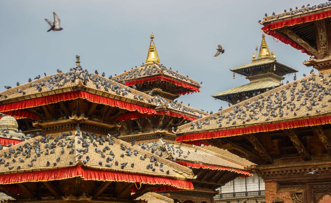
Kathmandu Durbar Square is the zone UNESCO names after the Hanuman Dhoka palace. ICOMOS said in 2006 that the urban area around it had changed most, while the main monuments kept their authenticity.
Patan
Patan Durbar Square kept its overall integrity in the 2006 assessment, despite some illegally tall buildings nearby. ICOMOS wanted more study before its core zone was cut back.
Bhaktapur
Bhaktapur Durbar Square sits in the city where ICOMOS found the traditional housing had best kept its integrity. It recommended against reducing the core zone, but the reduced figure in the table is the one that adds up to UNESCO’s total.
Swayambhu
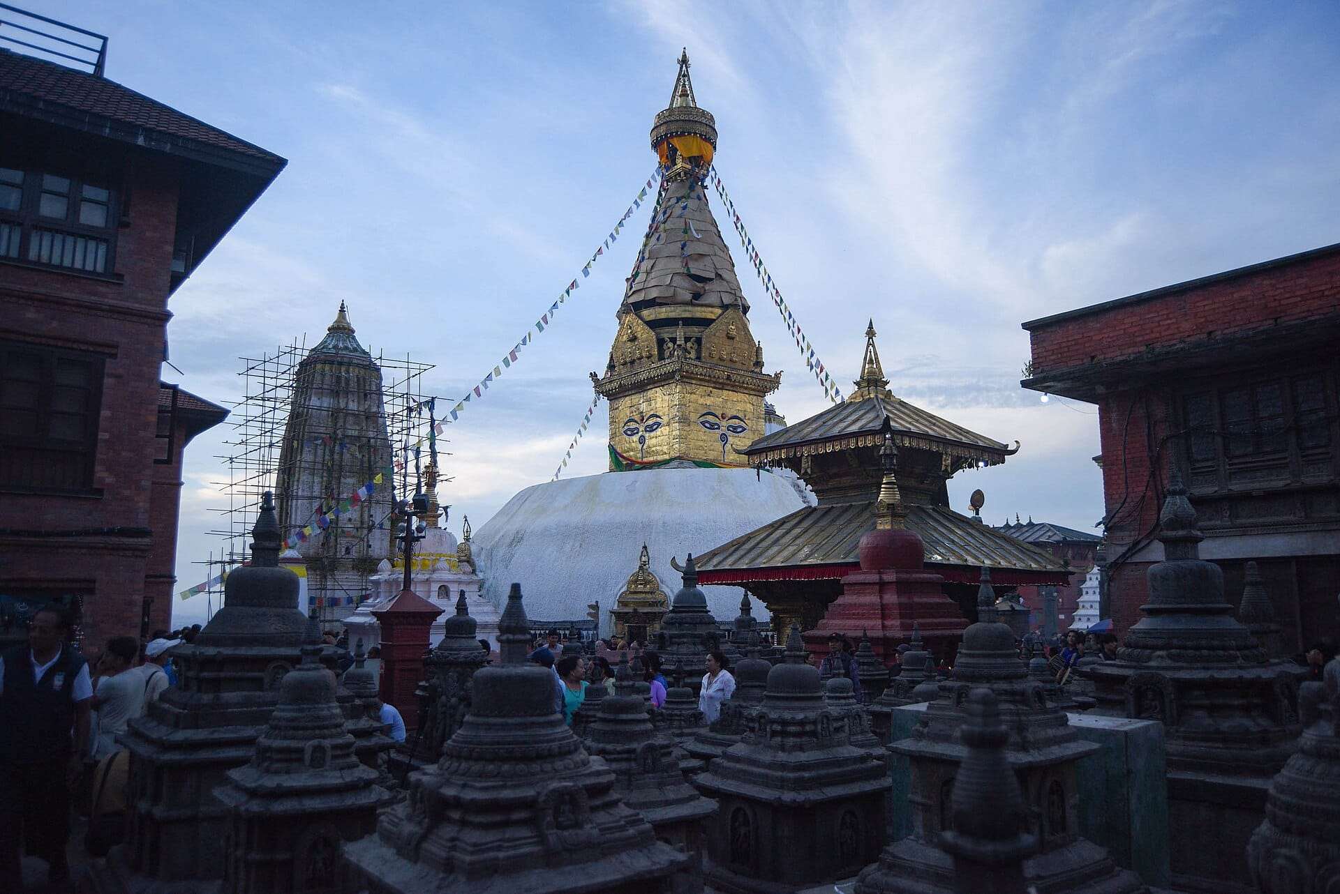
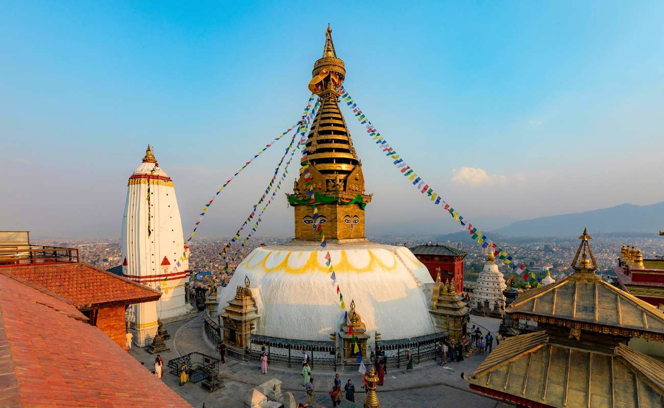
Swayambhunath is on a hilltop that ICOMOS calls the Sacred Hill. Its 2005 mission reported no adverse changes close to the main Buddhist monuments.
Bauddhanath
Boudhanath has the smallest protected core of any zone. Monasteries and concrete buildings grew up around the stupa after 1979, so the core was cut back to the monument itself, with the surroundings moved into the buffer zone.
Pashupati
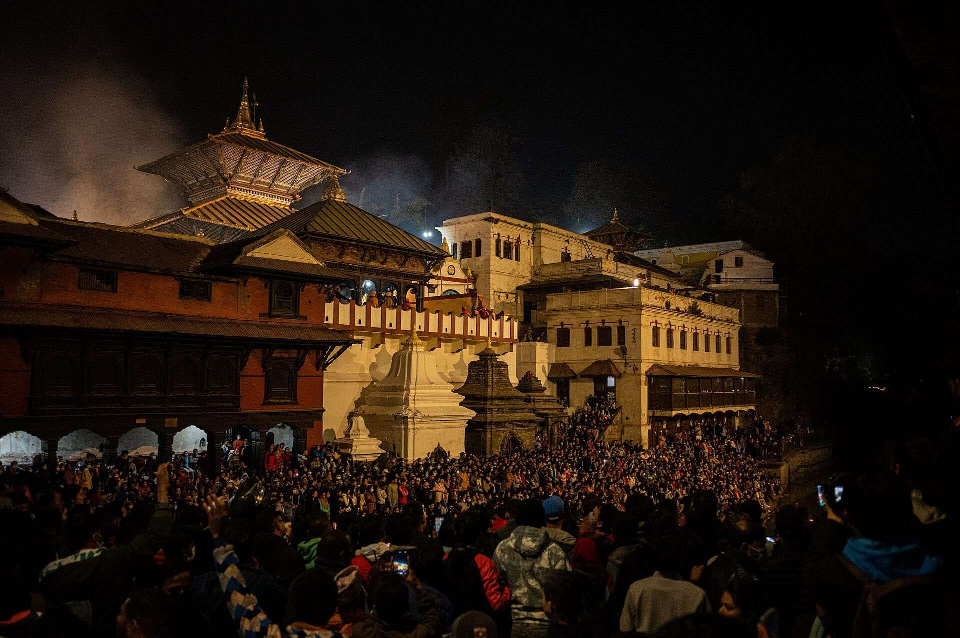
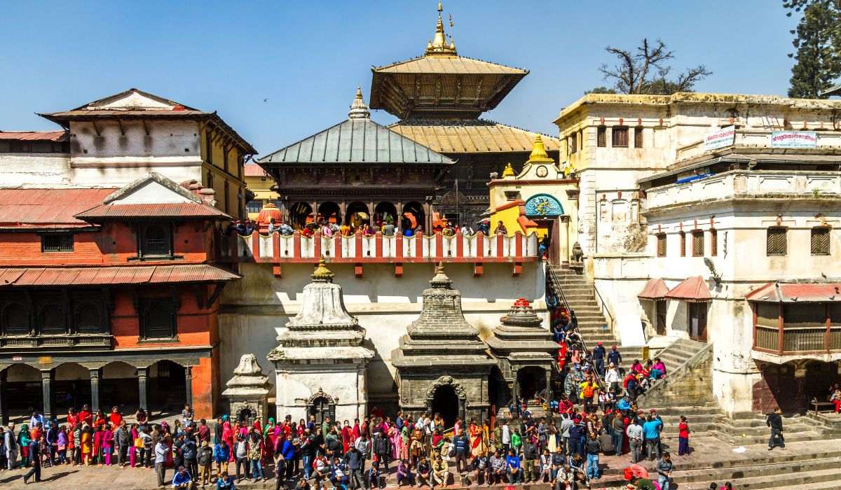
Pashupatinath is the one zone that grew noticeably in 2006, to take in the Bhandarkhal gardens and land along the Ring Road. Non-Hindu visitors can’t enter the main temple, so read the Pashupatinath rules for non-Hindu visitors first.
Changu Narayan
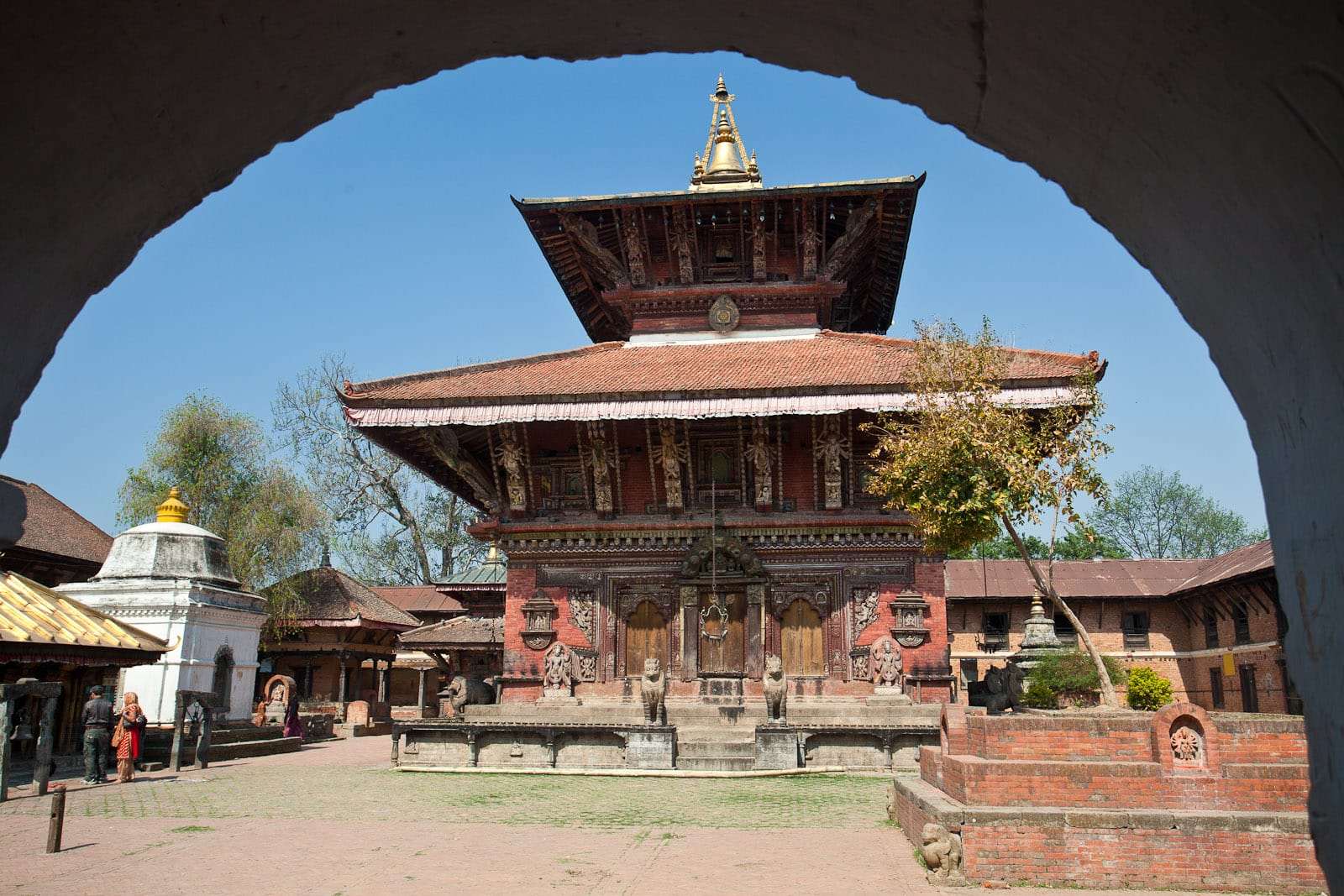
Changu Narayan is the most rural zone. ICOMOS recorded only a negligible level of change, and it accepted that no buffer zone was needed.

Which UNESCO criteria apply?
Three criteria apply: (iii), (iv) and (vi). These three date from the original inscription in 1979, and ICOMOS confirmed in 2006 that they were still the relevant ones.
| Criterion | What UNESCO’s entry says, in short |
|---|---|
| (iii) | The seven ensembles are an exceptional testimony to the traditional civilisation of the valley |
| (iv) | The palace complexes and the ensembles of temples and stupas are unique to the valley |
| (vi) | The property is tied to the coexistence and blending of Hinduism and Buddhism, with animist rituals and Tantrism |
UNESCO’s entry dates the high point of this art and architecture to between 1500 and 1800 AD. It links the seven zones to the traditional civilisation of the Newar people. Our history of the Kathmandu Valley sets out those periods with dates.
Did the boundaries change in 2006?
Yes. The World Heritage Committee approved new boundaries for all seven zones at its 30th session in July 2006, as a “minor modification”. This is decision 8B.42, and we read its text on InforMEA, the UN’s database of environmental agreements.
The change was not small in area. The property went from 275.86 hectares to about 167 hectares, and ICOMOS argued that a 40 per cent cut was a significant modification and not a minor one. ICOMOS agreed with the new lines at five zones. It wanted more study at Patan, and it said Bhaktapur’s core zone shouldn’t be reduced. Its overall advice was that the change should “not be approved at this stage”. The Committee then approved an updated proposal as a minor modification, after a UNESCO mission in June 2006. We haven’t seen that updated proposal.
The 2006 change also added buffer zones, as the original nomination had none. ICOMOS records a proposal to rename three ensembles too, and UNESCO’s entry now uses the name Hanuman Dhoka for Kathmandu Durbar Square.

When was the valley on the Danger List?
The Kathmandu Valley was on the List of World Heritage in Danger from 2003 to 2007. The Committee added it at its 27th session in Paris in 2003, and UN News reported its removal on 25 June 2007.
The problem was building, not neglect of the main monuments. ICOMOS named uncontrolled urban development around the monuments as the main risk. Traditional buildings were being replaced by reinforced concrete. Wikipedia’s list summarises the reason as partial or substantial loss of traditional elements in six of the seven zones.
UN News said the Committee praised Nepal’s efforts to protect the valley from the effects of urban growth when it took the property off the list.
Was it put back on the Danger List after the 2015 earthquakes?
No. Re-listing was debated, but we found no source showing that it happened. A draft decision in 2016 proposed listing the property as endangered. Architect Kai Weise wrote in The Himalayan Times that the Committee overturned that advice in Istanbul and postponed the question. It came back later. The Himalayan Times reported in June 2019 that the property was again proposed for listing before the Committee’s session in Baku.
The decision text, as reproduced in the Department of Archaeology’s 2017 report, asked Nepal to report back so the Committee could consider possible Danger Listing “in the absence of significant progress”. Weise says a similar dispute happened in 2015.
UNESCO’s list entry, archived on 26 September 2026, shows the property as listed from 2003 to 2007 only. You may see drafts or summaries online that sound like a re-listing, so check the decision itself.

What state is the property in now?
The most recent figures we can quote are national ones. The Department of Archaeology said 825 of 920 quake-damaged heritage sites across Nepal had been reconstructed, according to The Rising Nepal on 16 August 2026. Those figures cover the whole country, so they include sites outside the seven zones.
The Committee’s 2016 decision said all seven zones suffered extensive damage in April and May 2015. The Department of Archaeology’s report of February 2017 said about 17 per cent of the monuments in the property were affected, including significant ones. The Committee also noted that earthquakes recur here, and that craftspeople have long sustained these buildings through “cyclical renewal”, meaning repeated repair with traditional materials.
UNESCO is still following the property. Its documents index, archived on 22 September 2026, lists Committee decisions in 2021, 2023, 2024 and 2026, and a State Party report in 2025. We could read that index but not those texts, so we won’t summarise them. For dated progress at named monuments, see the Kathmandu earthquake restoration tracker.
How much does it cost to see them all?
Seeing all seven costs a foreign visitor NPR 5,700, as listed by the Nepal Tourism Board in November 2026. SAARC visitors pay NPR 2,750, Indian visitors NPR 1,750 and Chinese visitors NPR 3,900. The table on this page gives each site, and the Kathmandu entry fees guide covers the figures that sources dispute.

Can you see all seven in one trip?
You can, and it takes one long day or two shorter ones. Our Kathmandu UNESCO tours include 7 UNESCO sites in one day, which runs 9 to 11 hours at a fast pace. The two-day version covers the same seven sites in two 6 to 7-hour days, with more time at each stop.